
Synopsis
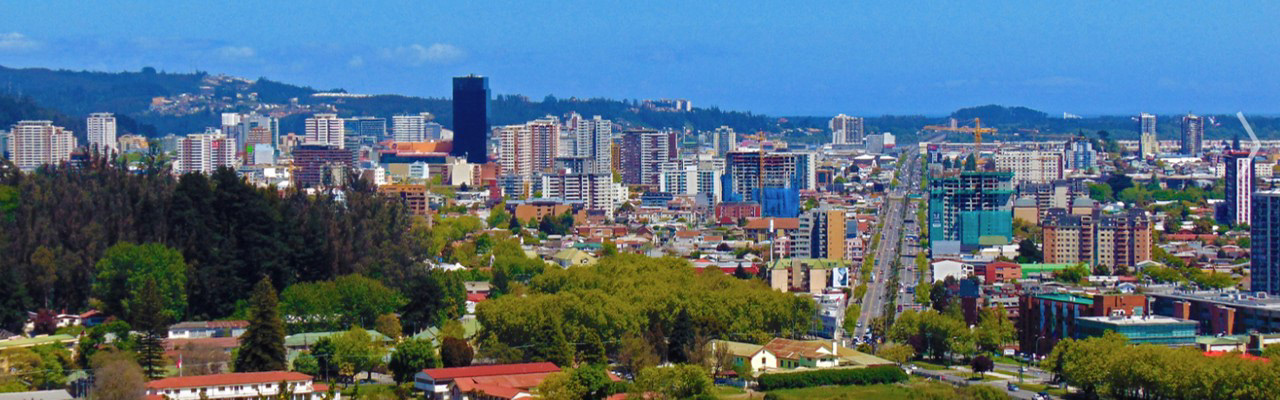
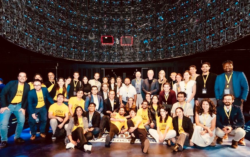
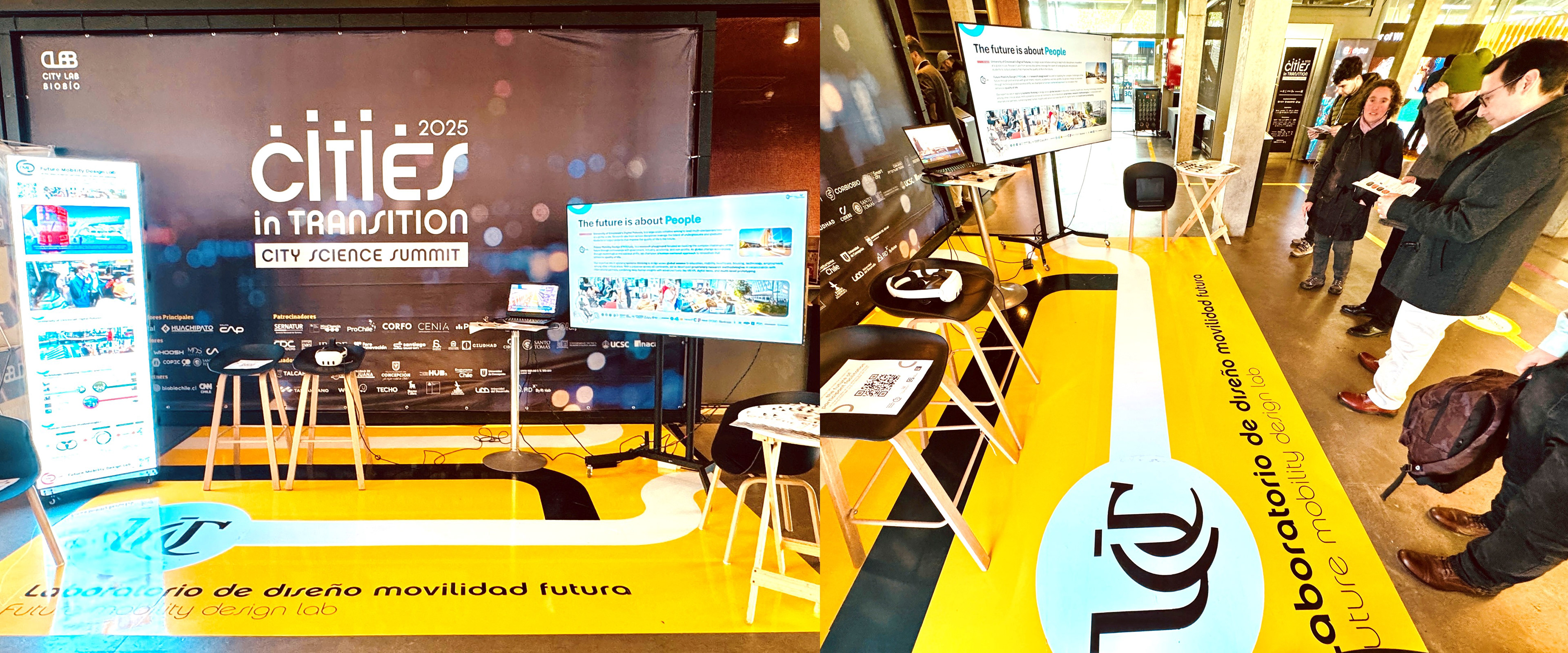
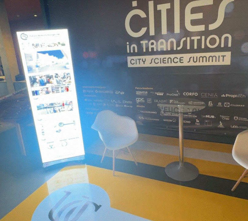
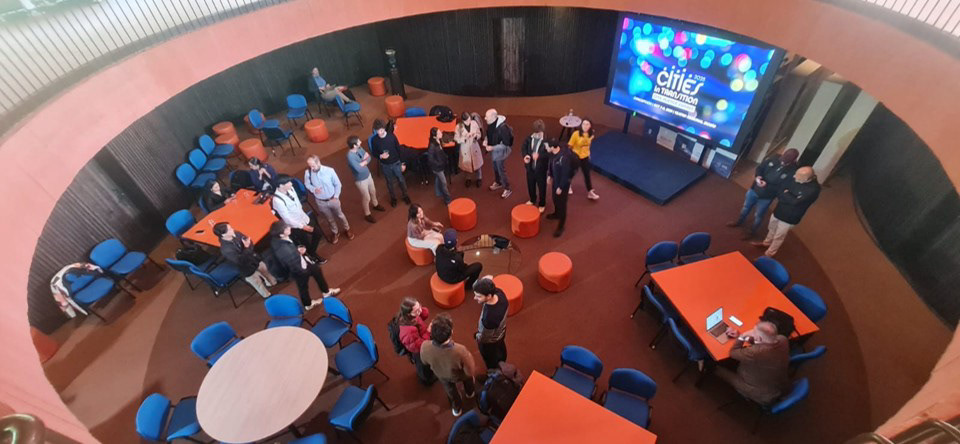
As an official member of the MIT City Science Network, I was invited to the City Science Summit in Concepción, a global gathering of leaders in urban science, planning, technology, policy, and social innovation focused on Cities in Transition. At the summit, I presented and exhibited an innovation booth showcasing the Future Mobility Design Lab’s human centered methodologies, participatory Digital Twin frameworks, and applied use cases addressing access to essential services such as mobility, housing, healthcare, and employment.
As part of the program, I also contributed to data-driven, mobility focused sessions that explored multimodal challenges and user experience in Concepción, connecting global research insights with local urban priorities and reinforcing the role of participatory, technology enabled approaches in informing future city planning.
FMD Booth
Multimodal mobility workshop
Context and Challenge
A series of hands on multimodal mobility workshops were conducted to understand how people move through the city today and how more sustainable, inclusive, and user centered mobility systems could be envisioned for the future. Concepción faces complex mobility challenges shaped by urban form, infrastructure gaps, user experience issues, and equity considerations. The goal of these workshops was to capture real world qualitative and quantitative data directly in the city and translate those insights into practical, evidence based recommendations that city authorities could use to improve everyday mobility and overall quality of life.
A series of hands on multimodal mobility workshops were conducted to understand how people move through the city today and how more sustainable, inclusive, and user centered mobility systems could be envisioned for the future. Concepción faces complex mobility challenges shaped by urban form, infrastructure gaps, user experience issues, and equity considerations. The goal of these workshops was to capture real world qualitative and quantitative data directly in the city and translate those insights into practical, evidence based recommendations that city authorities could use to improve everyday mobility and overall quality of life.
Phase 1: In Situ Data Collection and Urban Observation
The first phase focused on capturing the current state of multimodal mobility access across Concepción through a combination of fieldwork and digital tools. Partnering with a local micromobility company, the team gained access to a fleet of scooters and traveled across multiple neighborhoods to assess mobility conditions across different modes of transport. Workshop participants used a custom Mobile Application developed by the research team to collect mixed methods data at specific locations. Participants could drop GPS pins, take photographs of urban elements, and record qualitative observations about accessibility, safety, comfort, and experience. This approach resulted in hundreds of geolocated data points distributed throughout the city, each enriched with layered qualitative and quantitative insights. In parallel, 360 cameras were used to capture immersive spatial footage, documenting real time mobility conditions and enabling a deeper understanding of the lived experience of moving through the city.
The first phase focused on capturing the current state of multimodal mobility access across Concepción through a combination of fieldwork and digital tools. Partnering with a local micromobility company, the team gained access to a fleet of scooters and traveled across multiple neighborhoods to assess mobility conditions across different modes of transport. Workshop participants used a custom Mobile Application developed by the research team to collect mixed methods data at specific locations. Participants could drop GPS pins, take photographs of urban elements, and record qualitative observations about accessibility, safety, comfort, and experience. This approach resulted in hundreds of geolocated data points distributed throughout the city, each enriched with layered qualitative and quantitative insights. In parallel, 360 cameras were used to capture immersive spatial footage, documenting real time mobility conditions and enabling a deeper understanding of the lived experience of moving through the city.
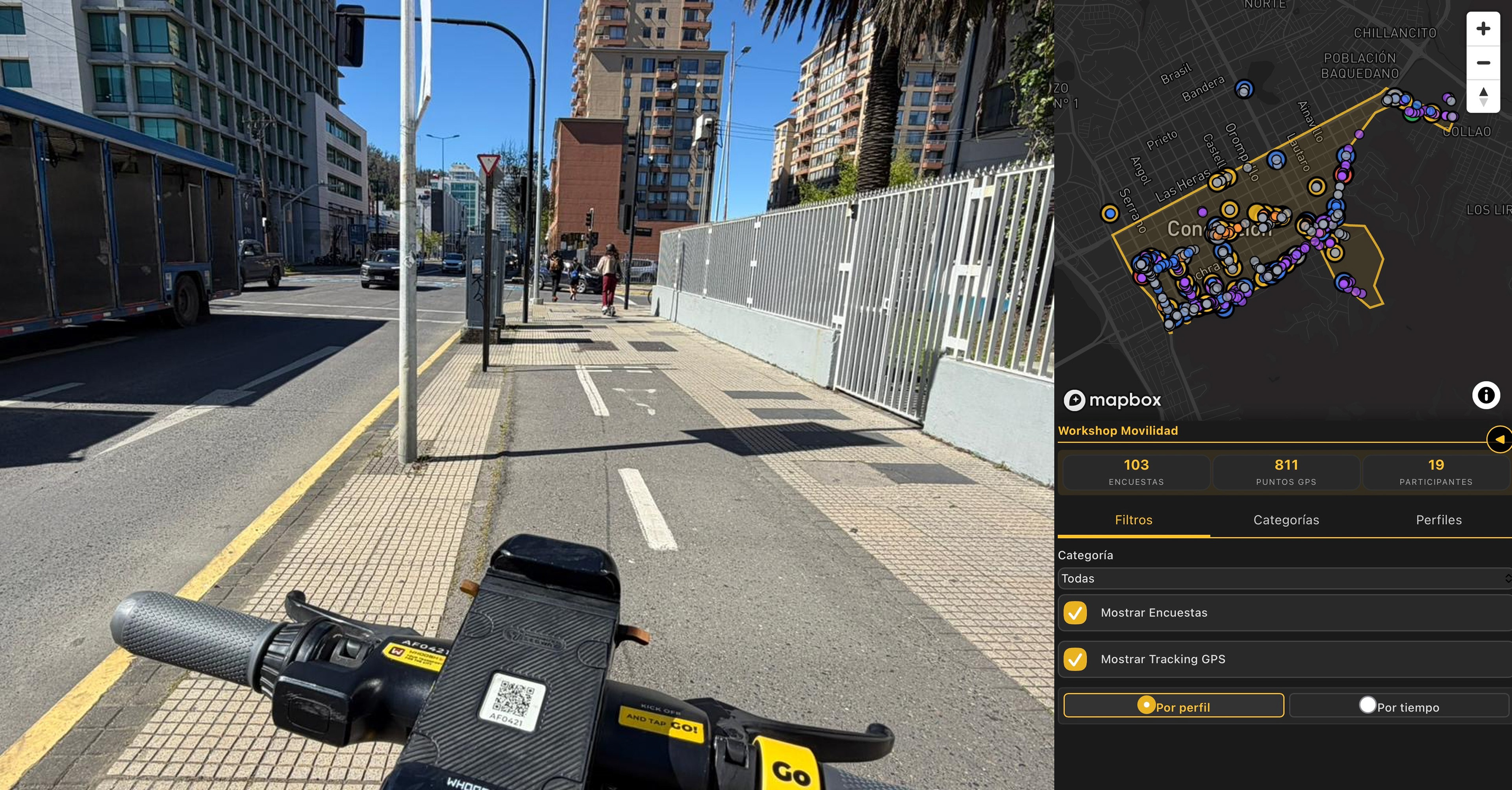
Data collection in Custom App
Phase 2: Co Design and Participation
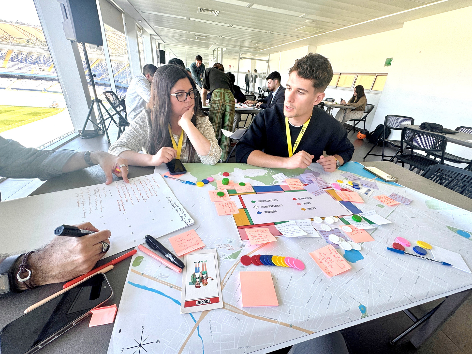
The second phase transitioned from observation to co design through a gamified, participatory workshop format. Participants worked in groups around large scale printed maps of Concepción and a custom game board inspired by the mechanics of Monopoly. Each participant was assigned a specific user persona, such as an aging resident with limited mobility, a tourist family, or a university student, with detailed profiles outlining needs, pain points, and daily journeys informed by prior interviews and testimonies. The game board featured color coded categories representing key dimensions of multimodal mobility, including infrastructure, user experience, regulation, and equity. Using a limited number of tokens tied to these categories, participants collaboratively proposed solutions to improve their assigned persona’s experience. A group wide negotiation exercise followed, where all ideas were presented and collectively weighted using the same token system, simulating real world city budgeting and priority setting processes. Concepts that received the strongest collective support advanced to the next phase.
The second phase transitioned from observation to co design through a gamified, participatory workshop format. Participants worked in groups around large scale printed maps of Concepción and a custom game board inspired by the mechanics of Monopoly. Each participant was assigned a specific user persona, such as an aging resident with limited mobility, a tourist family, or a university student, with detailed profiles outlining needs, pain points, and daily journeys informed by prior interviews and testimonies. The game board featured color coded categories representing key dimensions of multimodal mobility, including infrastructure, user experience, regulation, and equity. Using a limited number of tokens tied to these categories, participants collaboratively proposed solutions to improve their assigned persona’s experience. A group wide negotiation exercise followed, where all ideas were presented and collectively weighted using the same token system, simulating real world city budgeting and priority setting processes. Concepts that received the strongest collective support advanced to the next phase.
Phase 3: Systems Analysis and Strategic Framing
In the final phase, participants and facilitators conducted a deeper analysis of the selected priority directions. Systems thinking methods were introduced to examine interdependencies and long term implications, including STEEP factors and trend forecasting. This phase focused on understanding how infrastructure, policy, technology, and user experience interact at a city scale, and what conditions would be required to implement meaningful change. The discussion moved from isolated interventions toward integrated, future oriented strategies aligned with broader urban and societal trends.
In the final phase, participants and facilitators conducted a deeper analysis of the selected priority directions. Systems thinking methods were introduced to examine interdependencies and long term implications, including STEEP factors and trend forecasting. This phase focused on understanding how infrastructure, policy, technology, and user experience interact at a city scale, and what conditions would be required to implement meaningful change. The discussion moved from isolated interventions toward integrated, future oriented strategies aligned with broader urban and societal trends.
Conclusions
Together, these workshops generated a rich, multi layered dataset combining geospatial information, qualitative insights, immersive visual documentation, and participatory prioritization outcomes. The use of data driven methods and technologies such as mobile data collection and 360 video created a compelling and engaging experience for both researchers and participants, while significantly improving the quality and depth of insights gathered. The outcomes were synthesized into a strategic report outlining opportunity areas and actionable recommendations for Concepción’s city authorities. This work demonstrated how participatory, technology enabled methodologies can bridge lived experience and decision making, supporting more inclusive, evidence based approaches to improving multimodal mobility and urban quality of life.
Together, these workshops generated a rich, multi layered dataset combining geospatial information, qualitative insights, immersive visual documentation, and participatory prioritization outcomes. The use of data driven methods and technologies such as mobile data collection and 360 video created a compelling and engaging experience for both researchers and participants, while significantly improving the quality and depth of insights gathered. The outcomes were synthesized into a strategic report outlining opportunity areas and actionable recommendations for Concepción’s city authorities. This work demonstrated how participatory, technology enabled methodologies can bridge lived experience and decision making, supporting more inclusive, evidence based approaches to improving multimodal mobility and urban quality of life.
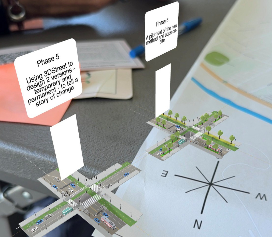
Mobile AR projection of street design on Map